SailTimer News
 How to see wind zones behind islands, in the channel and out on the open water…
The Marine Weather That All Boaters Need
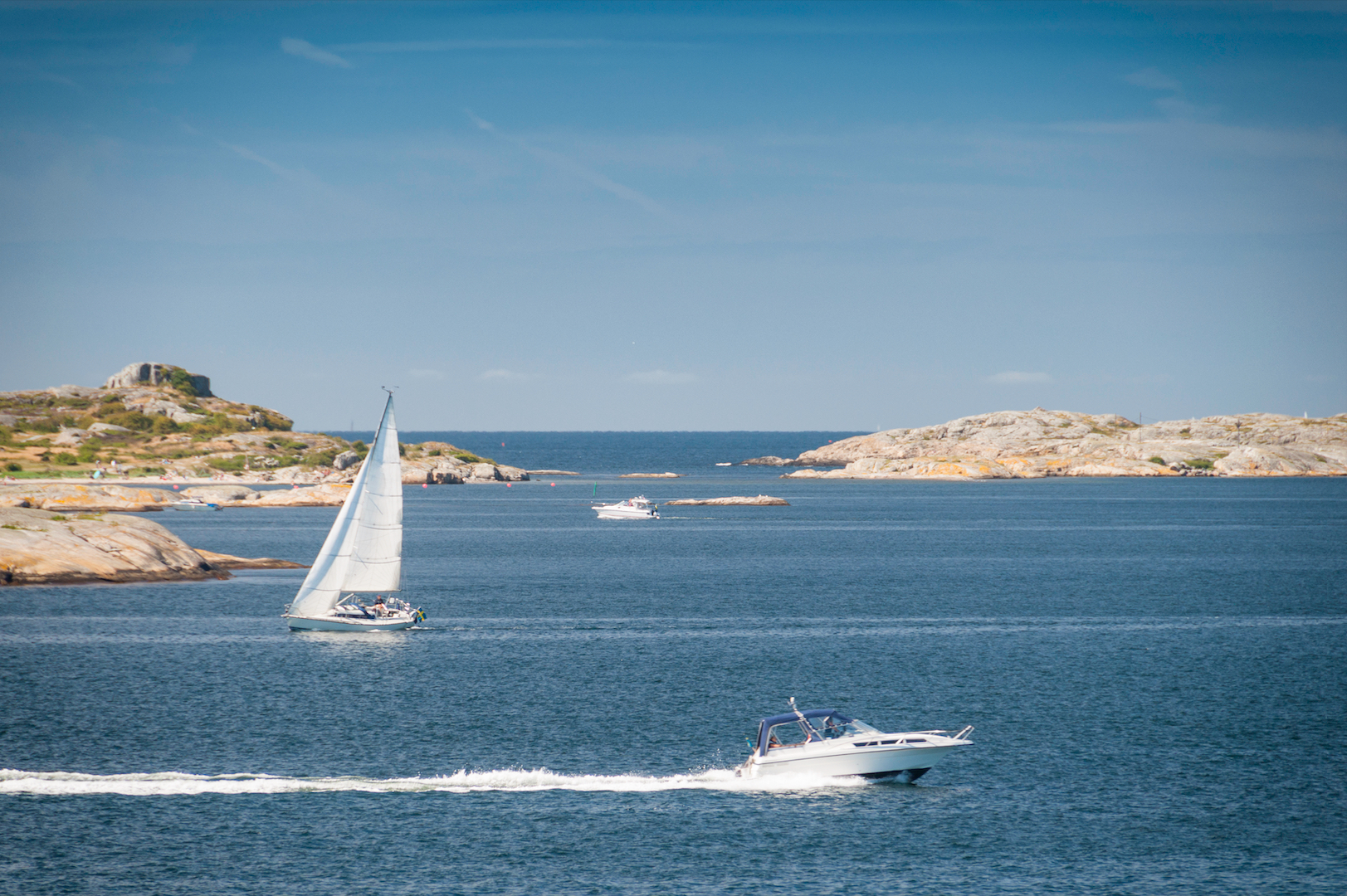
A wind sensor can measure wind locally that you can feel. But crowdsourced wind maps can now also allow you to plan your route based on wind conditions up ahead.
This is much more accurate and high resolution than the standard GRIB marine weather forecast, which comes from satellite imaging. The GRIB forecast has huge weather cells. They do not have enough resolution for use in coastal areas and harbors. But crowdsourced wind maps can show you what is happening on the other side of the next point, or as the wind funnels through a channel.
With GRIB weather maps, zooming in does not give you extra information. The weather cells basically pixellate, so you may only be able to zoom in so far. Some use animation to give the illusion that they have more resolution. But with crowdsourced data, our resolution is 20 meters! You can zoom in as far as you want.
At SailTimer, our wireless Wind Instrument can crowdsource data. We also have the Air Link™ which can connect on NMEA wiring and crowdsource from any type/kind of wind sensor.
We have been working on the electronics, database and visualizations for crowdsourced wind map animations for a long time — and it is finally available. For the first time, these wind maps show both the low-res GRIB data and high-resolution crowdsourced data. You can see an example of the high-resolution crowdsourced data from Charleston SC down to Key West, Florida on YouTube Shorts or TikTok. We also have an annotated example showing exactly what is happening, with coverage from Los Angeles to San Francisco bay (YouTube Shorts, TikTok).
Best of all, if we don’t have coverage of your area, you can add it yourself.
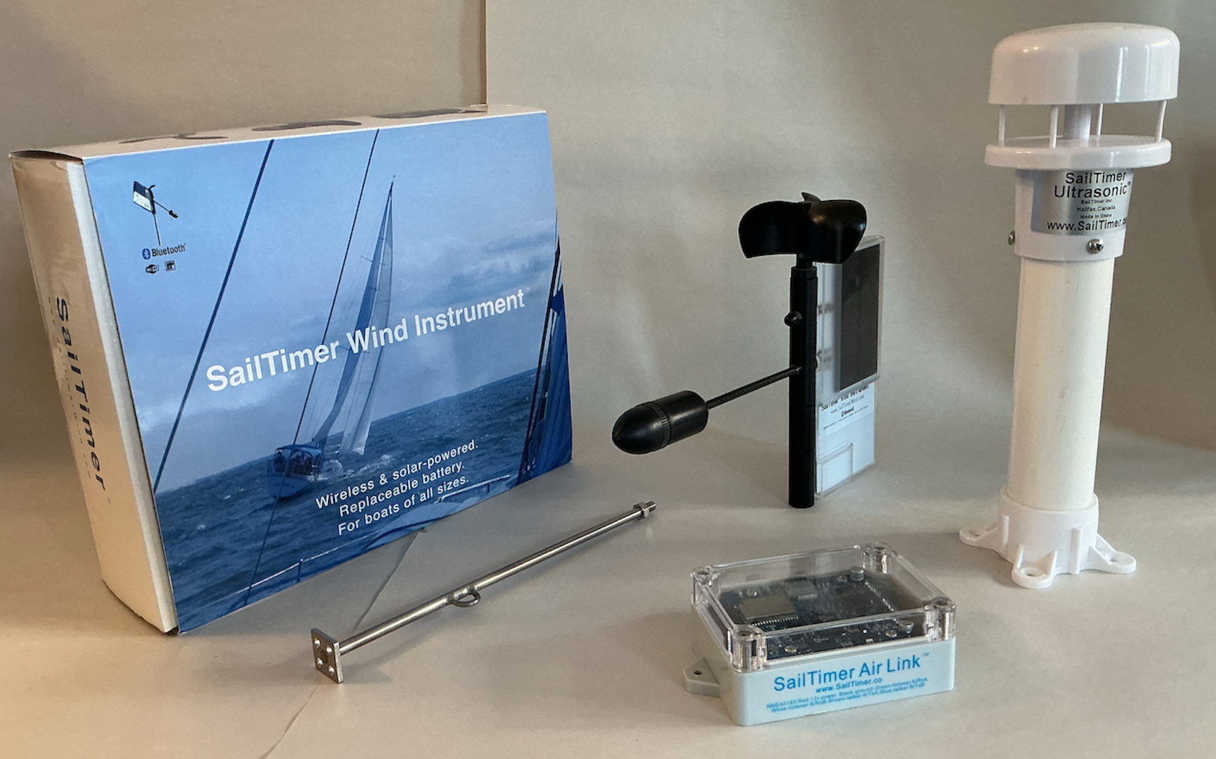 Wind Instrument | Air Link | Ultrasonic | App
Latitudes & Attitudes magazine has a story about our new weather animations in their new March/April issue. There are 3 low-cost weather animations in the SailTimer app: Crowdsourced Wind, WNI full marine weather, and AI ocean currents and marine weather from Amphitrite. Each has a 7-day free trial.
The SailTimer API app is currently being updated to support the 3 subscriptions. Until now, it has allowed partner apps to receive our Bluetooth wind data. But now it will also allow partner apps to display the marine weather animations.
You don’t need a wind sensor to be able to use these weather animations for planning your route; just use an app. Whether you are heading out in a kayak, a sailboat or a cabin cruiser, this is the marine weather that all boaters need.